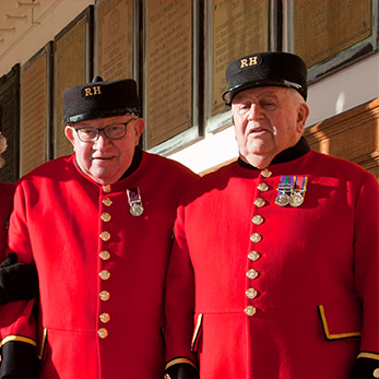
 Visitors:
Please note that the Royal Hospital Chelsea is not open to general public visits, with exception to the below areas:
- Our Shop & Post Office is open to the public between 10am - 4:30pm (Mon - Fri),
- Our Wren Chapel services, which take place on Sunday and during other special occassions,
- Pre-booked guided tours,
- Pre-booked ticketed public events,
- Pre-arranged visits to the Infirmary (Personal guests of Chelsea Pensioners only).
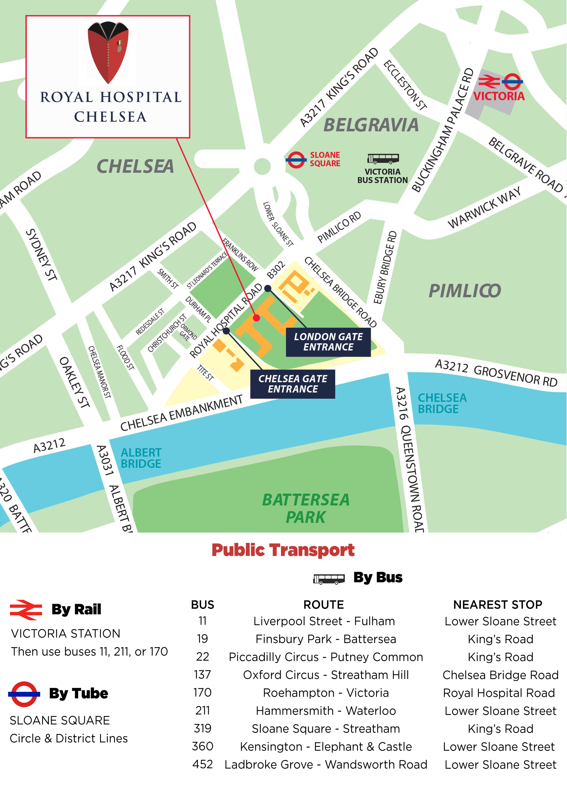
Address:
Royal Hospital Chelsea
Royal Hospital Road, London.
SW3 4SR (open in Google Maps)
The Royal Hospital Chelsea is easily accessible by road and by public transport.
By Train
The nearest London Underground station is Sloane Square on the District or Circle Lines.
The nearest Overground station is Victoria.
By Bus
Service 170 from Victoria & Roehampton stops right outside the Hospital.
Bus Services 11, 137, 211, 360 & 452 all stop a short walk from the Hospital.
Parking
There is limited on-street parking in the roads surrounding the Hospital and resident parking schemes in force throughout the area. Closest public car parks are located by Cheltenham Terrace, Chelsea or Cumberland Street, Pimlico.
For further contact details, please click here.